Aerial Photography and Satellite Imagery
Airphotos
The Map Room holds approximately 50,000 aerial photographs that cover the province of Newfoundland and Labrador, in some areas there is coverage for a variety of years. Please ask the Map Room staff for assistance in locating airphotos in the collection. Access to the airphoto collection is only available during Map Room staff hours.
Online indexes for airphotos are available from the Surveys and Mapping Division of Crown Lands, Department of Fisheries, Forestry and Agriculture
The Map Room does not hold all the photos available at Crown Lands.
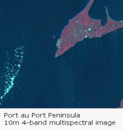
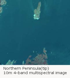
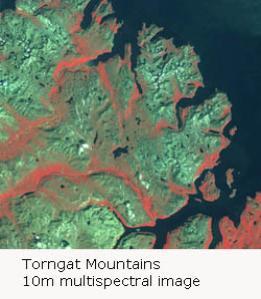
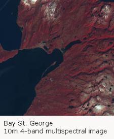
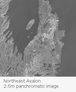
Satellite Imagery
Landsat Imagery in slide format for each of the Canadian Provinces, scale 1:250 000
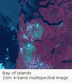
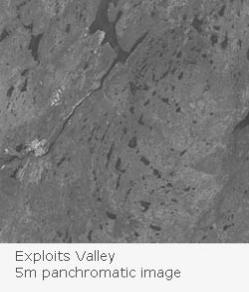
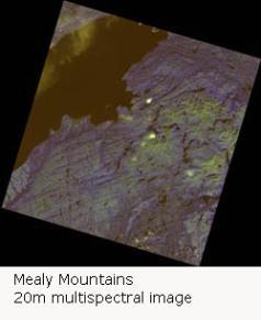
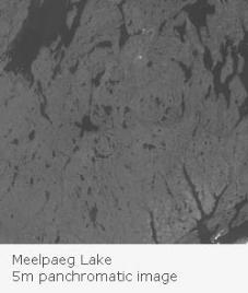
SPOT Imagery in GeoTIFF format available for research. Information of the Map Room holdings of SPOT data can be found in the Library catalogue by conducting a title search using the name of each of the images.